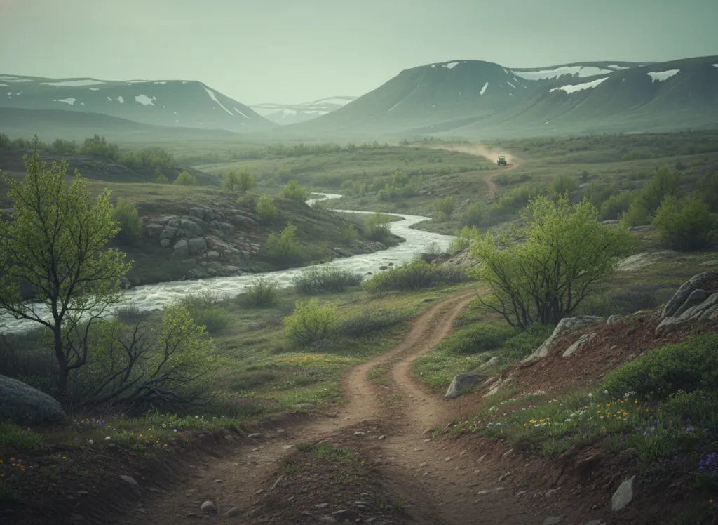
The Shores Lake OHV area and surrounding White Rock Mountain terrain in the Ozark National Forest's Boston Mountain Ranger District provides off-highway vehicle riding in the Boston Mountains: the highest and most rugged section of the Arkansas Ozarks, the plateau crest running east-west across Crawford, Franklin, Johnson, and Newton counties at elevations exceeding 2,500 feet, the backbone of the Ozark Uplift that separates the Arkansas River Valley to the south from the lower Springfield Plateau country to the north. The Boston Mountains are the most topographically distinctive Ozark subregion: where the Springfield and Salem Plateaus of the northern Ozarks are gently rolling uplands dissected by river valleys, the Boston Mountain crest rises sharply above both the Arkansas River lowland to the south and the plateau country to the north, creating a high forested ridge that carries the Ozark Highlands Trail and provides the rugged terrain that OHV riders access via the Shores Lake and White Rock Mountain trailheads. White Rock Mountain itself rises to over 2,100 feet and is a popular Forest Service recreation site with a historic stone shelter at the summit; the OHV trail network operates on the forest roads and designated OHV routes in the mountain terrain surrounding Shores Lake and the White Rock area. The vegetation on the Boston Mountain crest is northern hardwood in character: mixed oak-hickory-pine at the lower elevations, with beech, basswood, and sugar maple in the moister north-facing coves that signal the higher-elevation moisture conditions of the Boston Mountain interior. Franklin County's Crawford-Franklin-Johnson county corridor along the southern I-40 corridor provides the gateway to the Shores Lake area. Boston Mountain Ranger District at Mulberry (479-667-2191) manages current OHV trail status.
Hours
Open year-round on designated OHV routes. No day-use fee. Arkansas does not require OHV registration on National Forest land.
Phone
479-667-2191Trip openings, seasonal updates, and the occasional deal, straight to your inbox.
FAQ
Everything you need to know before you get started.
Have a question, or ready to book? Reach out and we’ll get right back to you.